One of the major silent killers and reducers of quality of life in the world today is air pollution. The European Environmental Agency considers air pollution "the biggest environmental health risk in Europe." Studies indicate that in general, "air pollution is one of the most important reasons for serious human health effects including cardiovascular and respiratory illnesses" Long-term exposure of simply being downwind of a highway can significantly reduce life years. Moreover, likely due to climate change, growing wildfires are exacerbating air pollution around the world.
While many applications exist to report current levels of air pollutants, these applications do not provide historical trends of pollution and air quality for specific places or regions. For example, while it is possible to view real-time data of air quality measures for a particular place, via applications such as AirNow and IQAir, current web applications do not enable visualization of air quality trends in the previous 5 or 7 years.
Although wildfires have become a serious concern, particularly in the United States (US), where wildfire burned 4 million acres in 2020 in California. However, few current applications exist to visualize current active wildfires and historic information about wildfires in the US.
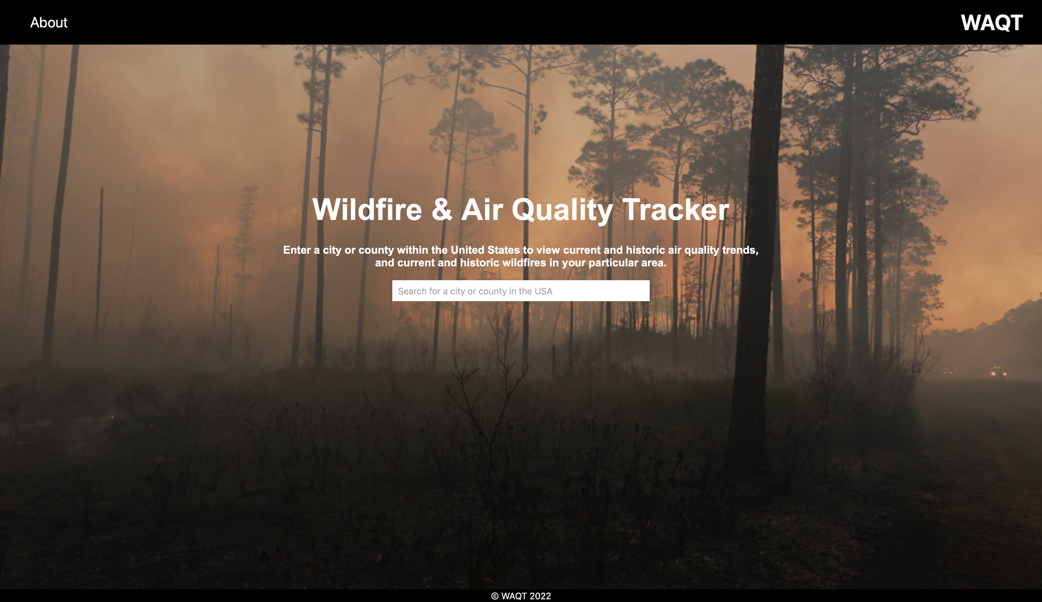
The Wildfire & Air Quality Tracker (WAQT) app was developed to provide citizens, scientists, policy makers and the public alike the ability to easily search for air quality and wildfire information for a particular county of interest (currently in the US only). WAQT provides a location’s current air quality measures for Ozone, PM2.5 and PM10—some of the most common air pollutants—based on the US Air Quality Index (AQI). This information is retrieved from the EPA & AirNow application programming interface (API) of the US Environmental Protection Agency (EPA).
WAQT also retrieves the current active wildfires in the searched location from the National Interagency Fire Center API, of the National Interagency Fire Center, and various calculations of historical wildfire data for the searched location, and the entire state, from the Wildland Fire Locations Full History API of the National Interagency Fire Center.
The WAQT app also produces various graphs of the historical trends of the three major pollutants identified from the year 2015 until the most recent data available. This long-term air quality data is pulled from the US EPA Air Quality System (AQS).The application also visualizes historical trends of wildfires, including total wildfires and acres burned from wildfires—when the data is available. Further details about wildfire data calculations are provided below.
WAQT was conceptualized by Nic DePaula, who guided the development process. WAQT was developed by Ryan Kaszubski, Ahmad Aoun and Kevin Kluka during the Fall of 2022 for their senior capstone project for the Lab for Health, Environment and Informatics (LHEI).
Further details about the application can be found at Git Hub Link We welcome you to visit our website and explore the wealth of information that we have gathered.